


San Jacinto Peak, 10,834 feet (3,302 m), is the highest peak of the San Jacinto Mountains, and of Riverside
County, California. It lies within Mount San Jacinto State Park. Naturalist John Muir wrote of San Jacinto
Peak, “The view from San Jacinto is the most sublime spectacle to be found anywhere on this earth!”
San Jacinto Peak is one of the most topographically prominent peaks in the United States. It is ranked sixth
among peaks in the 48 contiguous states. According to John W. Robinson and Bruce D. Risher, authors of The
San Jacintos, “No Southern California hiker worth his salt would miss climbing ‘San Jack’ at least once.”
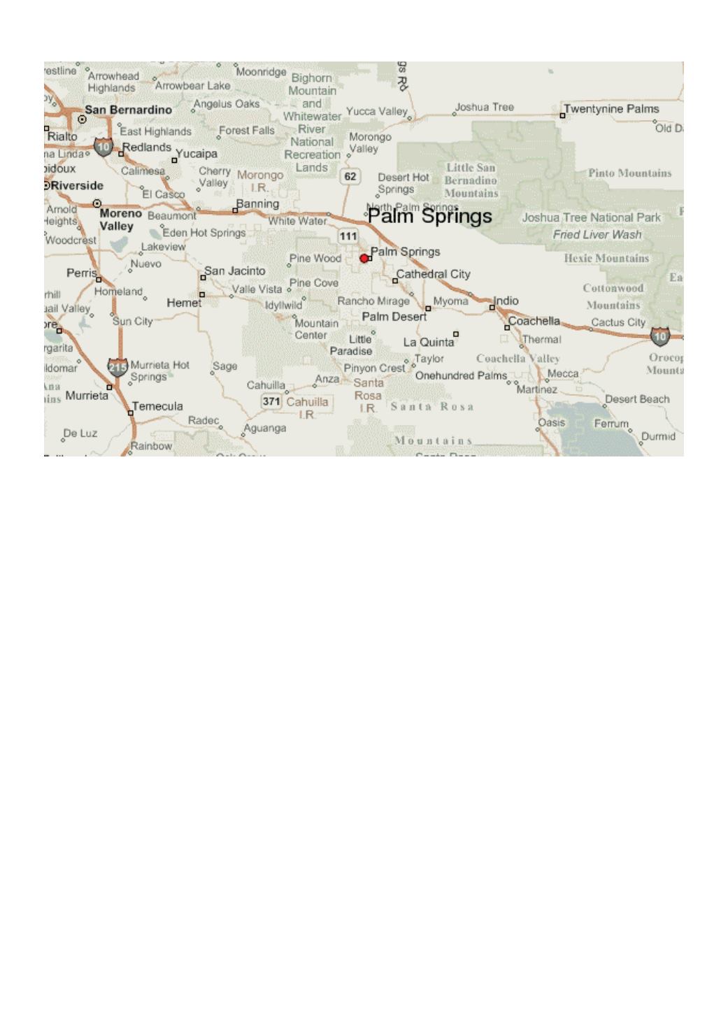
To the east, the peak towers over the city of Palm Springs; to the west, it borders the mountain community of
Idyllwild. The peak is also frequently called Mount San Jacinto. The steep escarpment of its north face, above
Snow Creek, climbs over 10,000 feet (3,000 m) in 7 miles. This is one of the largest gains in elevation over
such a small horizontal distance in the contiguous United States.
From the peak, San Gorgonio Mountain can be seen across the San Gorgonio Pass. Also easily visible below
is the Coachella Valley and the Salton Sea. In addition, much of the Inland Empire, including Ontario to
the west, can be viewed on a clear day. The peak can also be visible from Blythe from the Arizona border on
clearer days 130 miles east.
Mount San Jacinto is one of the “Three Saints,” a name occasionally used to describe the high points of the
three tallest mountain ranges in Southern California: San Jacinto Peak, Mount San Gorgonio (high point of
the San Bernardino Mountains), and Mount San Antonio (high point of the San Gabriel Mountains).
San Jacinto Visit - 1996